
HomeDigital Innovation
Digital Innovation
We analyse processes, propose practical IT tools, build new applications where needed and teach your team how to use them.
Phone, 24/7+385 (0)91 112 0008Emaildirektor@i-kso.com
Today’s safety challenges call for faster decisions, better information processing and closer coordination between everyone involved. That is why we connect protection and safety with information systems, spatial databases and digital planning tools.
The goal is for the right information to reach the right people at the right time. We apply the same approach for companies and organisations outside the public sector.
Several specialists work on our digital projects, including people who have led IT projects for national government institutions, and we bring in external partners as needed.
How contracts work
Development is priced per project, with the option of paying in instalments. Maintenance and support are covered by an annual or monthly fee, and new modules are agreed separately.
Once delivered, the application and the data belong to the client.
Services


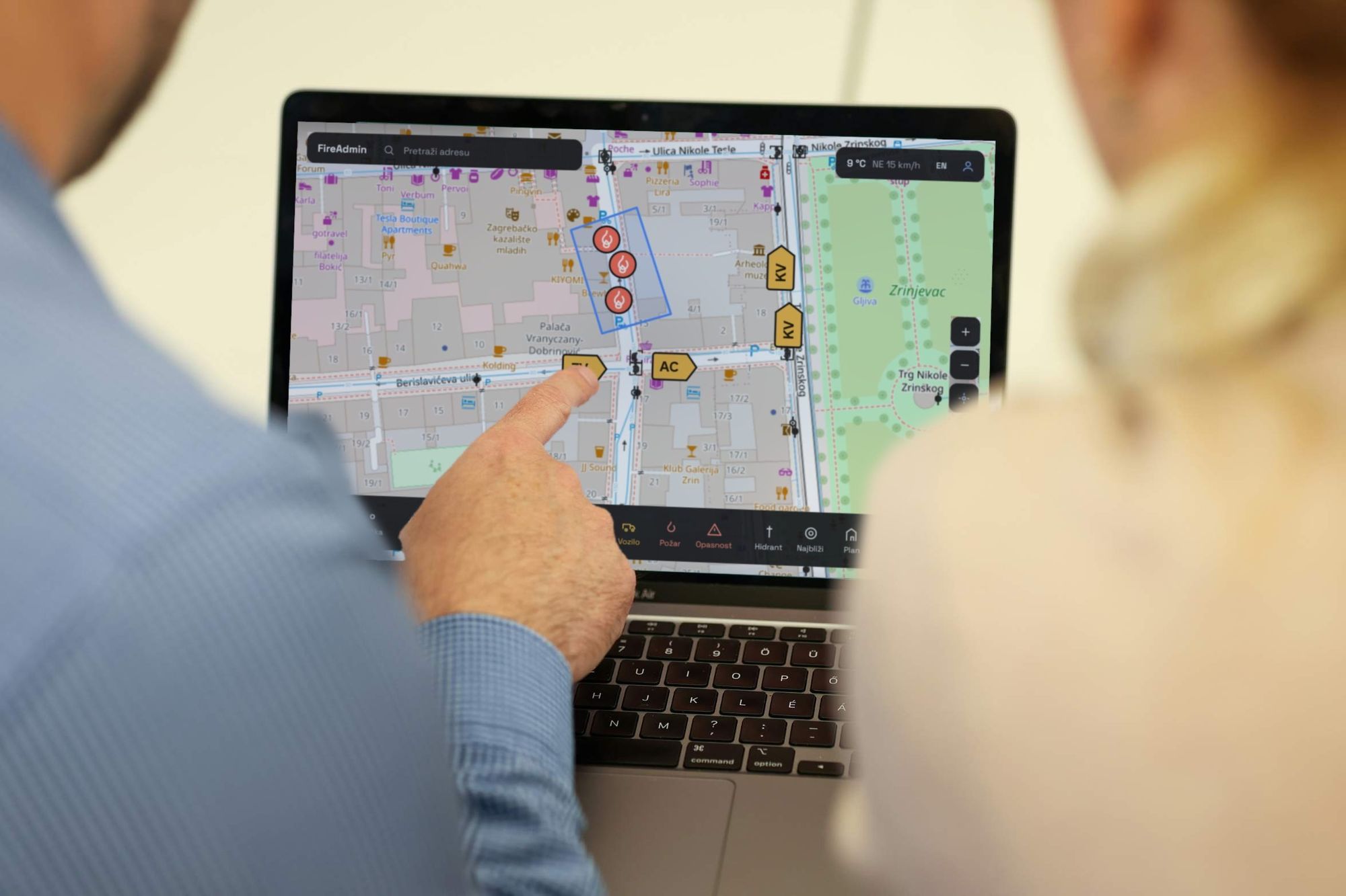
Web GIS systems
Your data on an interactive map, with field data entry and real-time tracking.
Learn more


Digital tools for safety and protection
Examples of solutions that connect both of our areas. The visuals are illustrative.
[Illustration]
Digital register of operational forces
Members, capabilities and resources of the civil protection system in one place.
[Illustration]
Risk and resource map
A web GIS view of risk assessment data for the crisis staff and operational forces.
[Illustration]
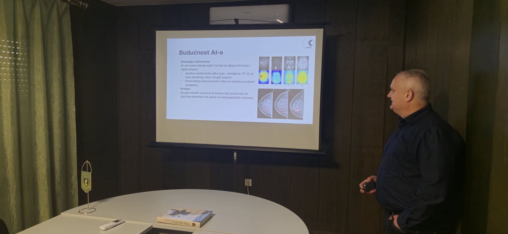
AI assistant for regulations
Quick answers about obligations and deadlines, based on your documents and current regulations.
From idea to a tool people use
1
Consultation and analysis
We get to know the processes, users and goals.
2
Prototype
We show the first version quickly, so you make decisions based on something that works.
3
Development
We build in stages with regular demos.
4
Rollout and training
We prepare users to work independently.
5
Support
Maintenance, backups and upgrades.
Technologies we work with
WordPress
React
Python
PostGIS
QGIS
OpenAI
AWS
Have an idea or a problem that needs solving?
Describe it in a few sentences. The first conversation is free, and you can see a working demo within a few days.